
07-11-2020
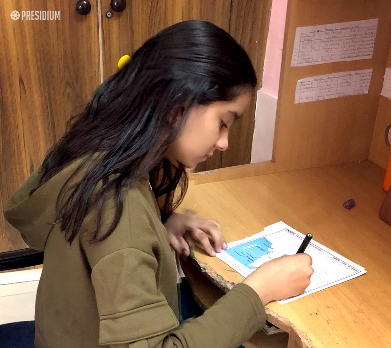
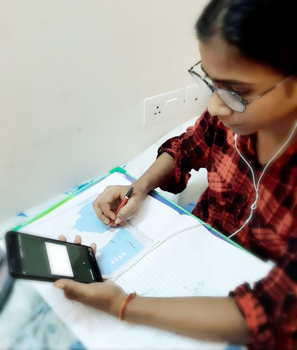
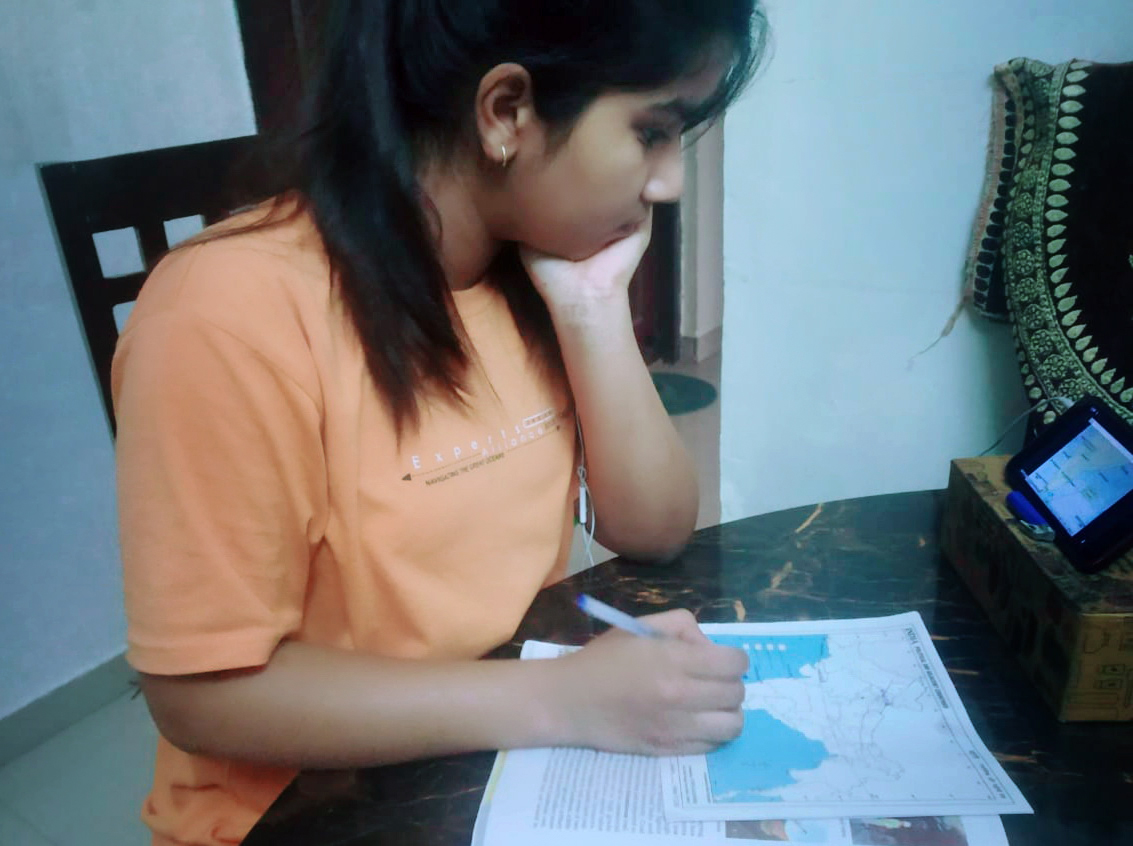
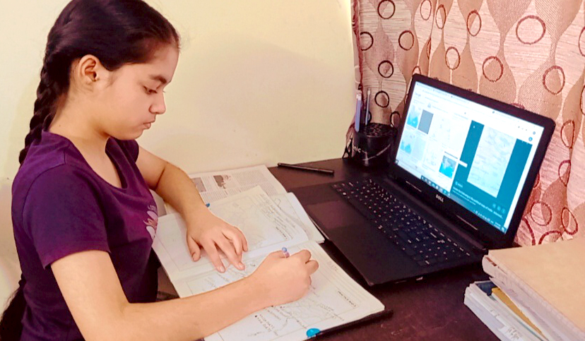
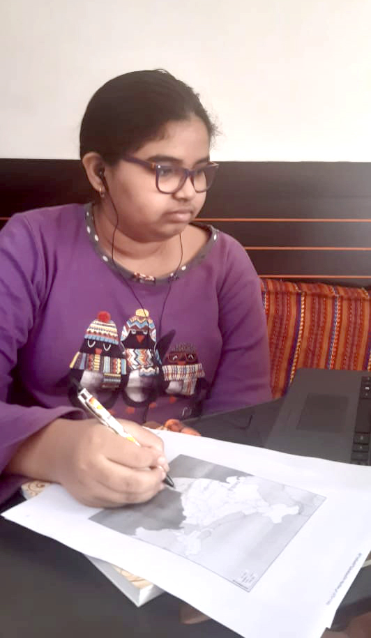
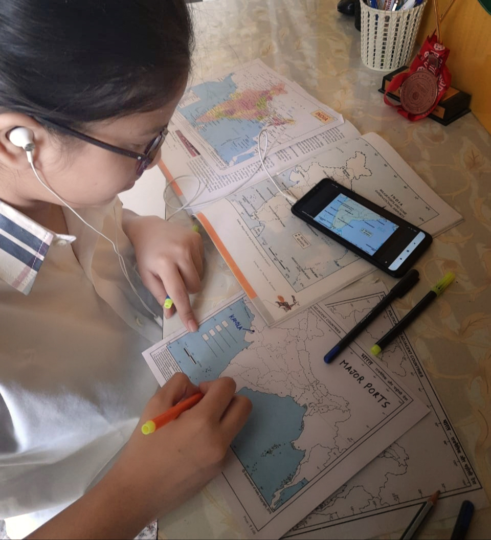
Maps represent the real world on a much smaller scale. They help us travel from one location to another. A map activity was conducted in Grade-X of Presidium to help students synthesize and integrate information, ideas, and concepts. The topic of this activity was ‘Locating and labeling of ports and International airports.’ This activity was held virtually on MS Teams. On the political map of India, students marked the Ports and International airports. During this activity, students noticed how the seaports are essential interfaces in the supply chain between sea and land transportation, and it also facilitates goods movement through export and import; and International airports bring a lot of foreign exchange and connect India to worldwide. It was a fun-filled activity, and students learned a lot from it.